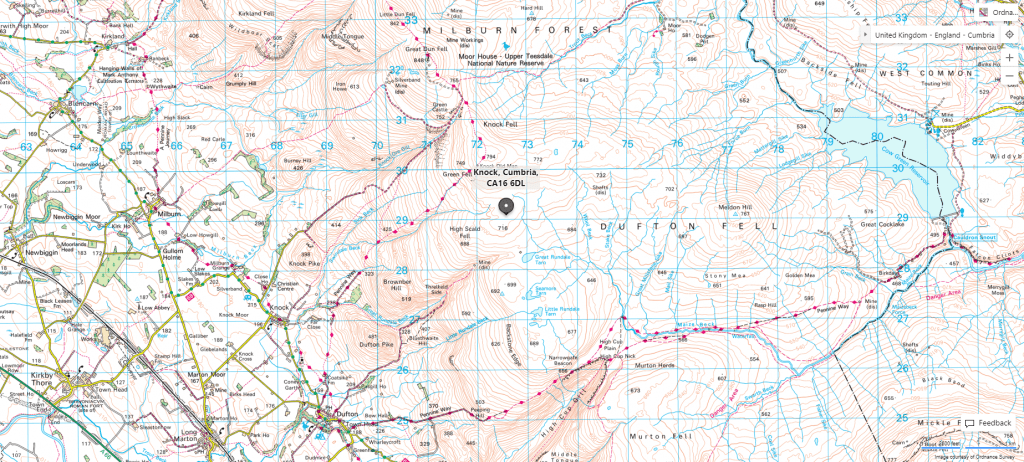
The Flightpath
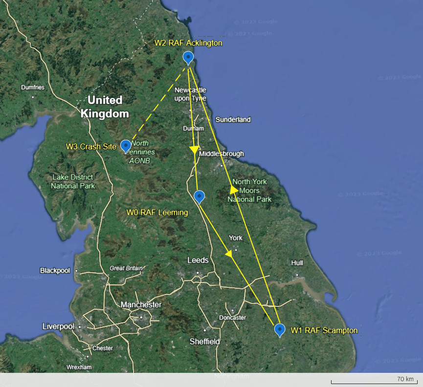
The route from Leeming to Scampton, then up to Acklington, is shown in the map below. The crash site is also shown. Misrepresented here as a dotted line from Acklington. The aircraft was, in fact, controlled to within 5 miles of the airfield at 2500 ft.
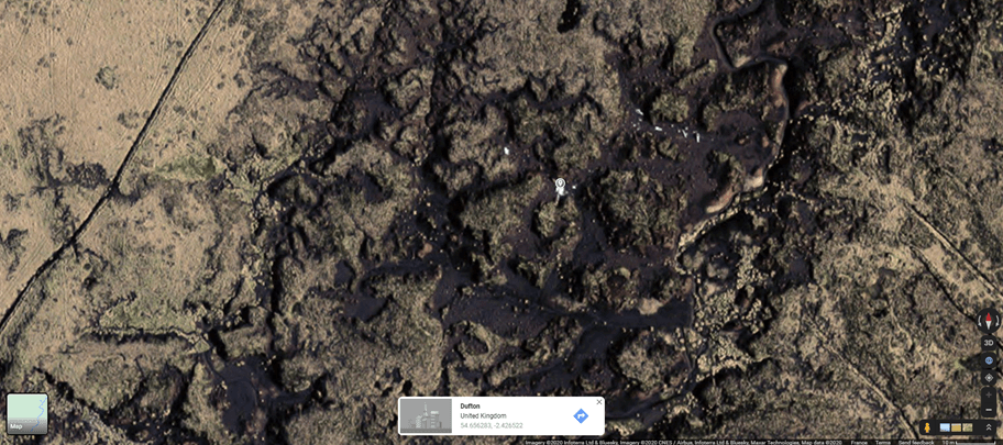
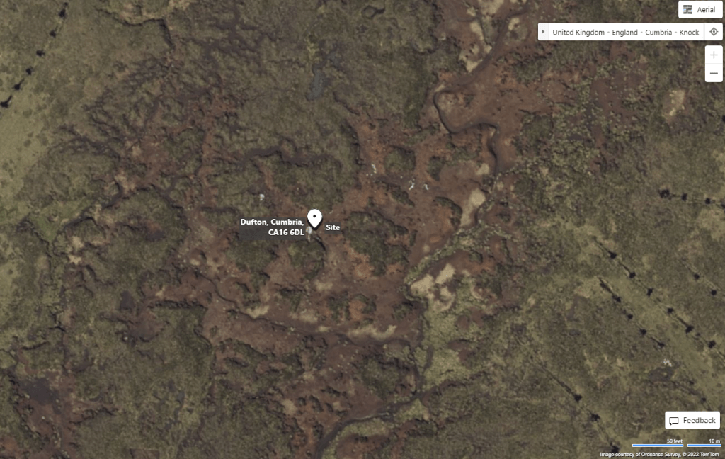
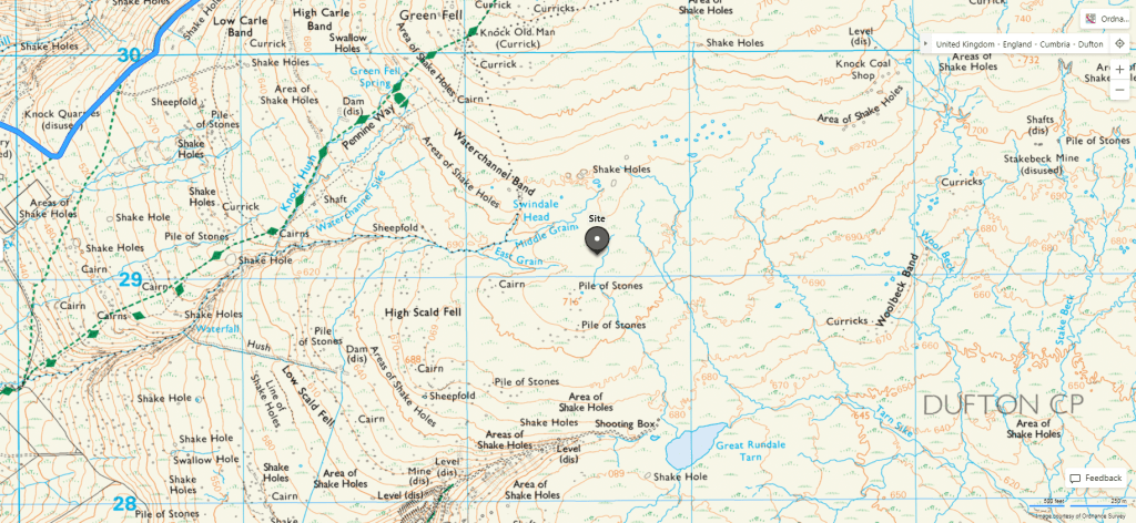
The Crash Site
The crash site is located at 54.656283 -2.426522.